Categorie:Kaart:Monument:Baexem
Kaarten
Impressum 1764-1771 (vertaald)Cartograaf Österreichische Niederlande (1764–1771) - First Military Survey
Kaart afkomstig van MapireImpressum 1771-1778 (vertaald)Cartograaf Joseph-Jean-François graaf de Ferraris (1726-1814)
Kaart afkomstig van MapireImpressum 1811-1832 (vertaald)Cartograaf Kadaster
Kaart afkomstig van Beeldbank van de Rijksdienst voor het Cultureel ErfgoedImpressum 1811-1832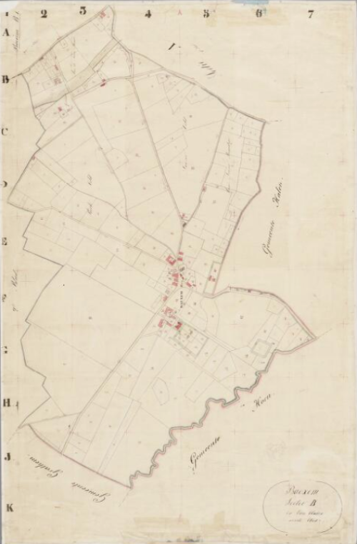 (vertaald)Sectie B, blad 01
Cartograaf Kadaster
Kaart afkomstig van Beeldbank van de Rijksdienst voor het Cultureel ErfgoedImpressum 1844 Cartograaf Topografische Dienst
Kaart afkomstig van Kaarten collectie Nationaal ArchiefImpressum 1861 (vertaald)Cartograaf Topographic and military map of the Kingdom of the Netherlands (1861)
Kaart afkomstig van MapireImpressum 1866 1866 - Gemeente Baexem
Cartograaf Jacob Kuyper (1821-1908)
Kaart afkomstig uit Gemeente Atlas Nederland 1868 aanwezig in atlas1868
Ondercategorieën
Deze categorie bevat de volgende 4 subcategorieën, van de 4 in totaal.