1702:1: verschil tussen versies
Geen bewerkingssamenvatting |
Geen bewerkingssamenvatting |
||
| Regel 4: | Regel 4: | ||
|cartograaf=Nicolas de Fer (1646-1720) | |cartograaf=Nicolas de Fer (1646-1720) | ||
|afbeelding=https://mdsr.ghklandvanthorn.nl/imsr/i/2xOjt.jpg | |afbeelding=https://mdsr.ghklandvanthorn.nl/imsr/i/2xOjt.jpg | ||
|afbeelding_groot= | |afbeelding_groot=2xOj.jpg | ||
|archiefstuk=9xNj.jpg#QxNj.jpg#uxNj.jpg#ax8j.jpg#Fx8j.jpg#Ax8j.jpg | |archiefstuk=9xNj.jpg#QxNj.jpg#uxNj.jpg#ax8j.jpg#Fx8j.jpg#Ax8j.jpg | ||
|zoom_width=2342|zoom_height=3847|zoom_left=-4717|zoom_top=-989 | |zoom_width=2342|zoom_height=3847|zoom_left=-4717|zoom_top=-989 | ||
Huidige versie van 18 okt 2025 om 12:01

Terug naar Historische kaarten
Impressum 1702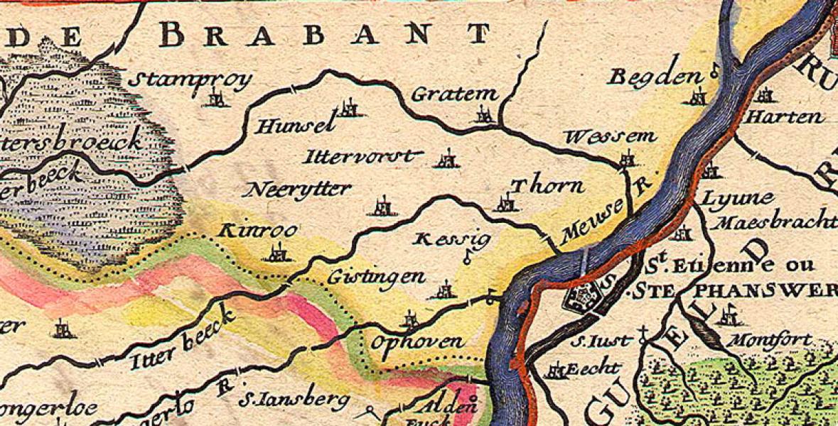 Cartograaf Nicolas de Fer (1646-1720)
Kaart afkomstig van Beeldbank HCL